
Revisit scenic roads
Mountain roads, coastal views, and stretches that stayed with you. Use them as inspiration for your next outing.
Record drives and road trips
Scenic roads and spontaneous detours.
Record routes and distance on iPhone,
then revisit the roads on a map.
For iPhone · Free to download

When WayLog can help
You may remember where you went but not which roads you took. Save your route and revisit favorite drives later.
Mountain roads, coastal views, and stretches that stayed with you. Use them as inspiration for your next outing.
Save the route between breaks and stops, and revisit the drive from departure to arrival.
Review the route and distance to see how far you traveled. Add detail to your memories of a day out.
Operate the app while parked. Check the necessary settings before departure.
Check location access and other settings, then begin recording while parked.
Enjoy the scenery and roads without operating the app while driving.
Stop recording after parking safely, then review your route and distance on the map.
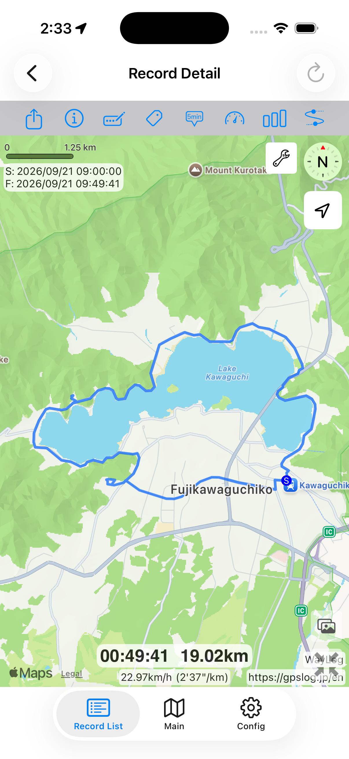
Look back on the map
Set off, enjoy the views, take a break, and head home. The roads between destinations can inspire your next outing.
A fictional example showing how a record looks. It is not an actual journey or measured distance.
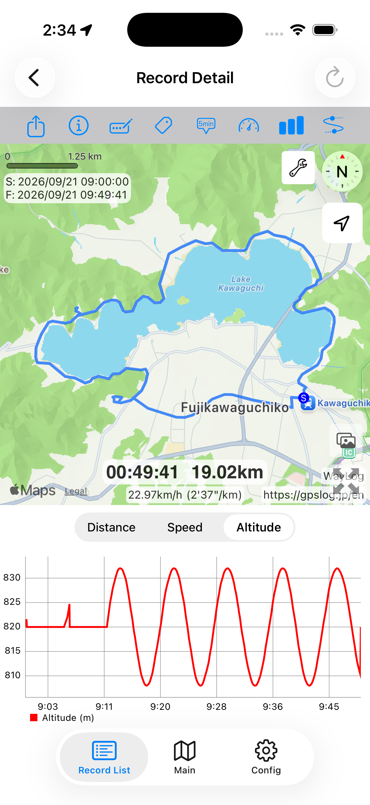
A closer look at your drive
Review records in maps and charts. See your route and changes in distance, speed, and altitude.
A day on mountain roads or an extended drive. Keep a travel record alongside memories of the scenery.
Make daily travel your own record
Search by date, keyword, or tag. Add your own Driving or Touring tags to organize a growing collection.
Example record tags
Example tags you can choose yourself.
Yes. Record routes traveled by motorcycle as well as car. Start, stop, and check the screen only after stopping in a safe place.
This page describes recording and reviewing routes you have traveled. For directions, use your preferred navigation app.
Poor GPS reception, such as in tunnels, may leave gaps or location errors in the record.
WayLog is free to download and use. Check the App Store and the app for optional features and purchase terms.
Your usual drive or your first motorcycle tour.
A record of the day, ready to revisit.
For iPhone · Free to download